
 The Undergraduate certificate in Geographic Information Systems provides a comprehensive
introduction to spatial analysis and information technologies.
The Undergraduate certificate in Geographic Information Systems provides a comprehensive
introduction to spatial analysis and information technologies.
Through opportunities to engage directly with mapping, statistical, and visualization applications, as well as to learn how to modify data sets and spatially present the results, this 15-credit certificate gives students a competitive edge in the employment market.
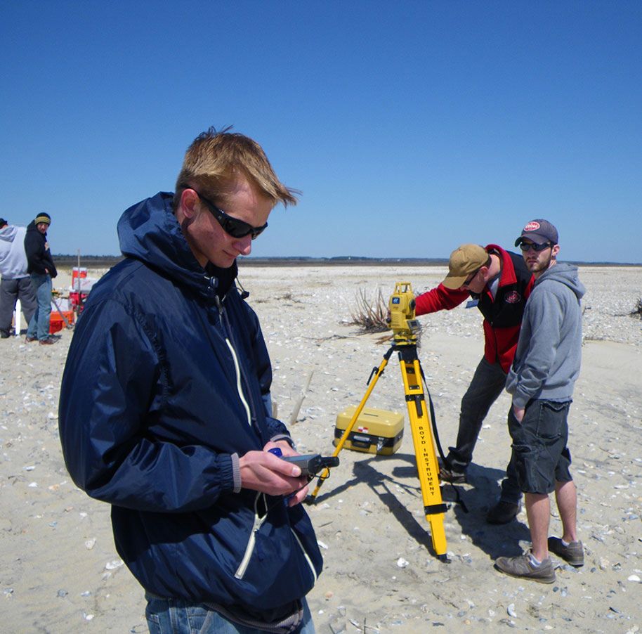
Users can query, analyze, and visualize spatial data using geographic information systems (GIS), which are sophisticated analytical tools that combine data and maps.
Students seeking the Geographic Information Systems Certificate (Undergraduate) will gain GIS skills that are applicable to a variety of industries such as: Environmental Science, Marine Science, History, Criminal Justice, Public Health, Business, and Education.
The GIS (Geographic Information Systems) field is experiencing strong growth with a projected increase of 9% in employment between 2023 and 2033, according to Zippia.com and Research.com.
This translates to approximately 34,800 annual job openings in the GIS field. The global GIS market is also experiencing significant expansion, projected to reach $43.8 billion by 2031, with a compound annual growth rate (CAGR) of 13.07%
Career Development at ESU
We'll help you launch your career. Support services are available through the ESU Career Development Center. The center offers a variety of internship opportunities, career planning, and employment services to all ESU students and alumni.
Become a Warrior